High Sierra Vacation
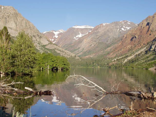
I have just returned from four days in the High Sierra with my brother hiking and fly fishing (catch and release). We stayed at Lee Vining, on the shore of Mono Lake. Our daily hikes started with a short drive from there each morning.
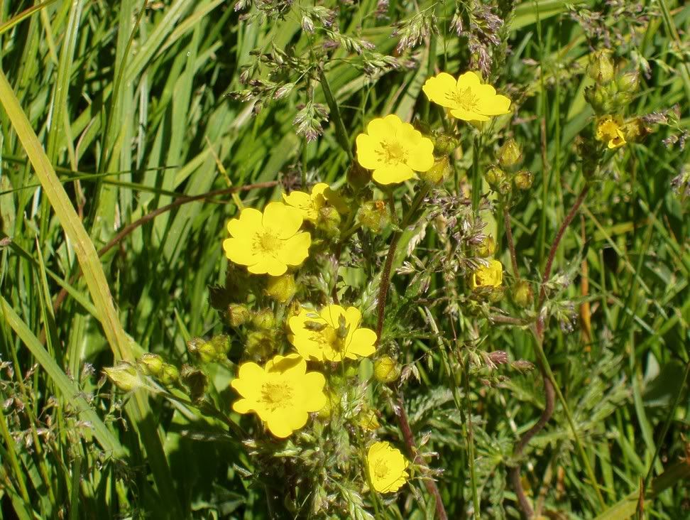
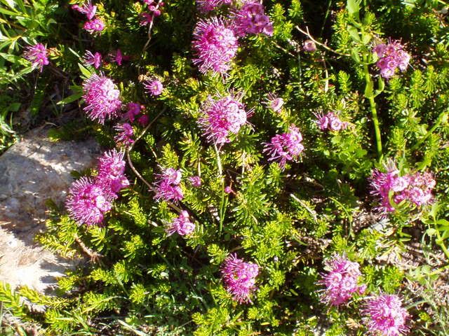
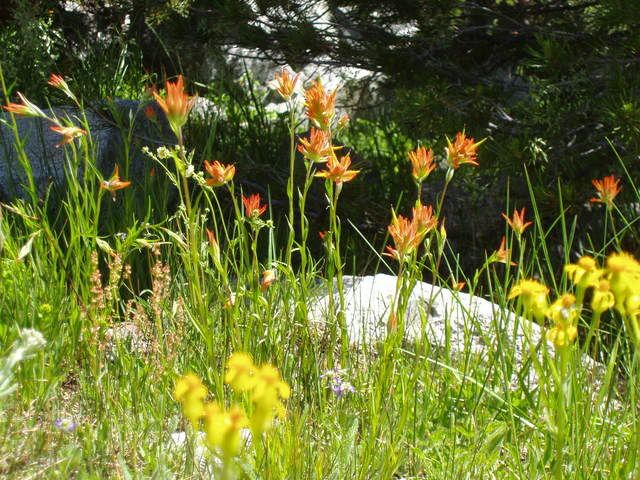
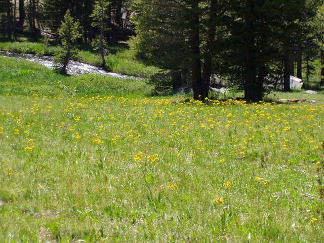
On Day One, just to break ourselves in, we hiked up Yosemite Creek for about two miles....just to enjoy the beauty, fish a little, get ourselves acclimated to the higher altitude (app 8,000 ft) and to look at the pretty wildflowers.
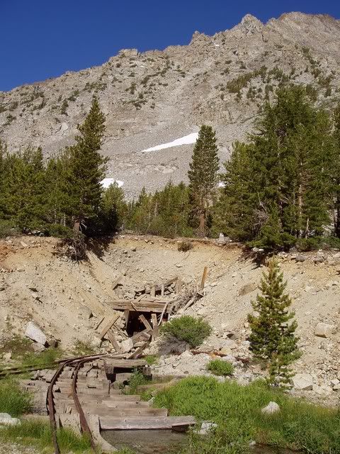
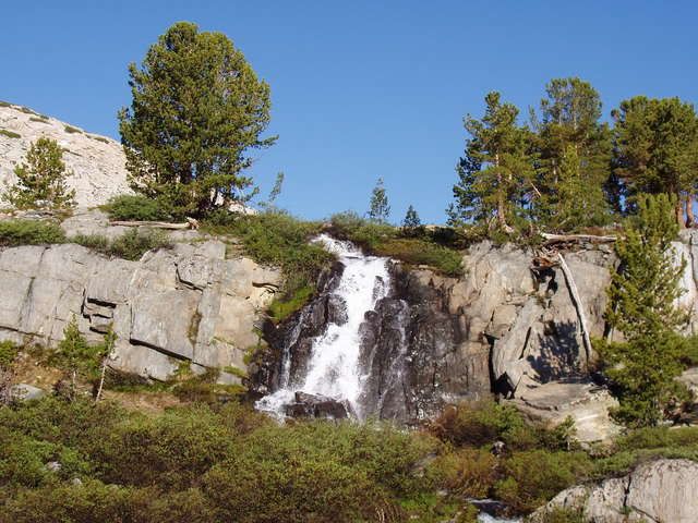
On Day Two, we drove to nearby Lundy Lake and climbed 1700 vertical feet in four miles to Oneida Lake. The remains of the old Oneida Mine were very evident in the area around Crystal Lake. On our way back down we met Forest Service personnel on their way up to "blow up" and collapse the mine entrance (which we had just visited). I suppose the reason for this was the fear of liability. In any case, the photos we took of the mine entrance were possibly the last ever taken!
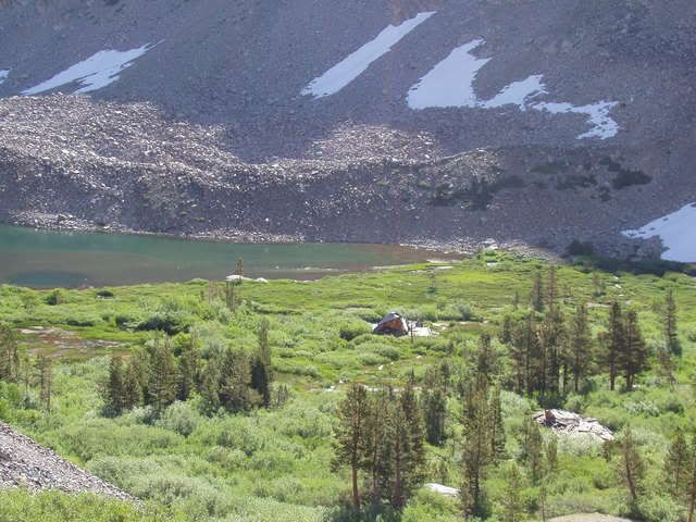
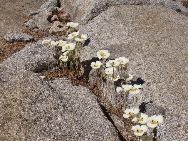
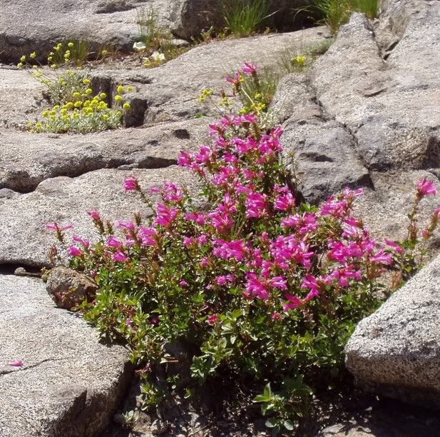
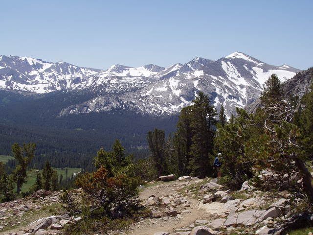
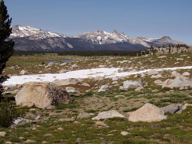
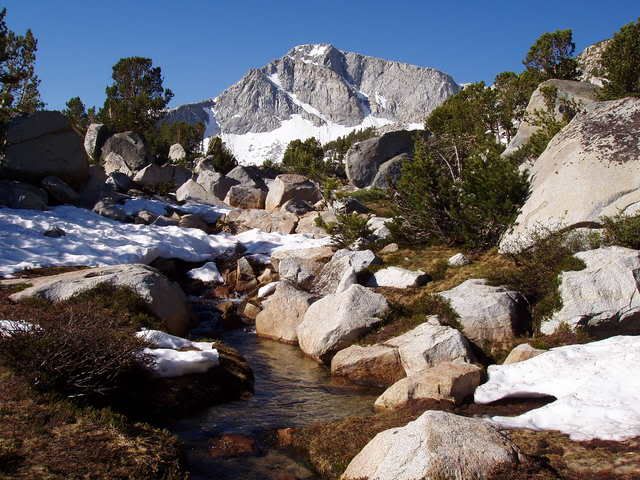
On Day Three, we drove up Tioga Canyon to Tioga Pass (approx. 10,000 ft) and climbed up 1000 more and then down 200 in one mile to reach the Gaylor Lakes basin, one of our favorite places in Yosemite. I first discovered this spot 30 years ago and had the best day of fly fishing I have ever had in Middle Gaylor. The high meadow gives the illusion of being on top of the world! Upper Gaylor Lake was mostly frozen but we fished off of a snow bank, overhanging the water!
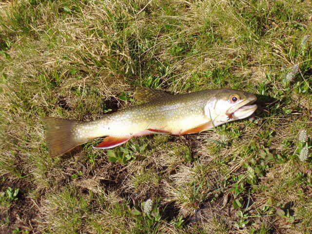
Afterwards we took a five mile hike up the Parker Fork of the Tuolumne River. The flowers were beautiful and I was surprised to catch several small Brown Trout in the high elevation where usually Brook Trout are to be found.
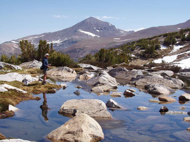
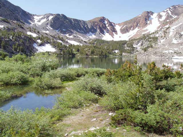
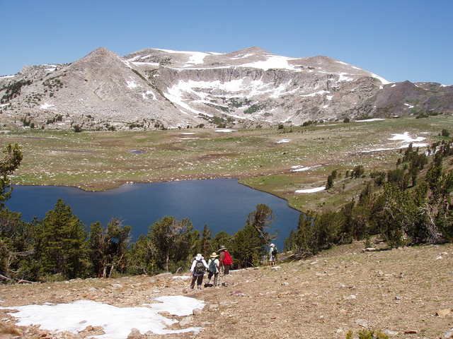
On Day Four, we took a long-anticipated hike to a lake with a name but no trail...at least there is no trail marked on any USGS maps, etc. that we researched. This lake was also still mostly frozen, due to the late and heavy winter as well as the lack of strong winds (which usually break up the ice by the end of May or mid June each year).
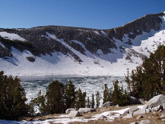
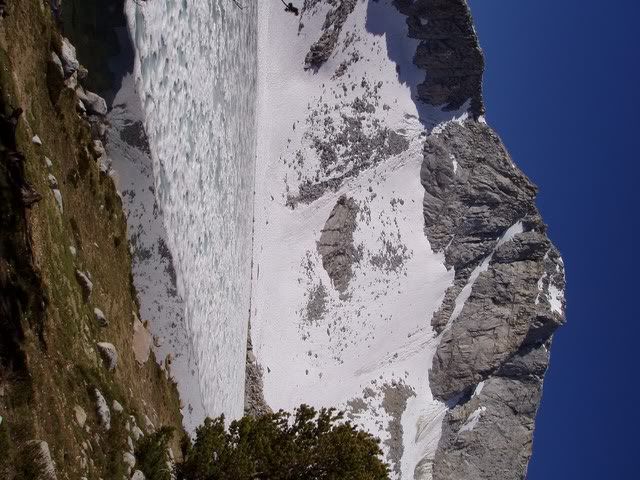
The lake glimmered in a spectacular setting. Our guess is that only 20 or so people must visit this lake each year out of the 10s of thousands of hikers that pass close by heading for other lakes in other places.
I will not tell you the name or location of this lake...we don't want to let out our little secret! But, I would invite everyone to guess it's name! If you get it right I will do something nice for you (something I haven't thought of yet!).
Well, that's about it for this year. As always, I began to feel in good physical shape the day we stopped hiking and returned back to my brother's house in the San Joaquin Valley. While I was glad to return to Hawaii, my family and my congregation yesterday, I was glad to be gone for a few weeks, too!
posted by Bird of Paradise at 6:02 PM
![]()
![]()


<< Home